
Tropical Downpours and Multiple Tornadoes Possible in New York
There’s only a few more weeks left of summertime and to say it’s been a mixed bag of weather would be an understatement.
Heat and humidity have been with us here in New York since the start of July and while we will be cooler over the next several days across the state, Monday will bring a risk of severe weather that residents should take notice.
Thunderstorms will be present all day in New York State, with the worst of them coming this afternoon and evening.

The National Weather Service has put the entire state up for severe thunderstorm risk, with a marginal chance in Western and Central New York; an enhanced risk for those downstate.
These storms, while short-lived, can pack a punch. Heavy, tropical downpours could bring flash flooding to areas, while damaging winds and hail are also possible.
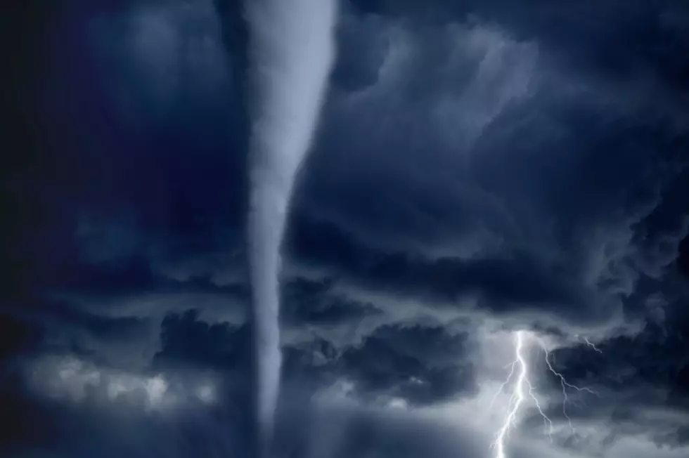
There’s also the threat of isolated tornadoes; yes, there’s the chance for more than one tornado across New York State on Monday.
This weather system will be a storyline for not just New York, but also Pennsylvania, Ohio, West Virginia, Virginia, Maryland and North Carolina.
As for us, Western and Central New York will be under the highest alert, with the southern tier portion of the state also under the most risk for severe weather today.
The good news is tomorrow will be much more quiet, albeit with lingering rain. There is the chance for thunderstorms for northern New York on Tuesday morning. Wednesday is the day that sunshine will return for the state.
Be careful out there today.